18 March – Lake Tekapo to Christchurch
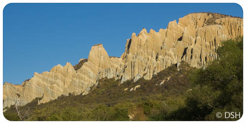
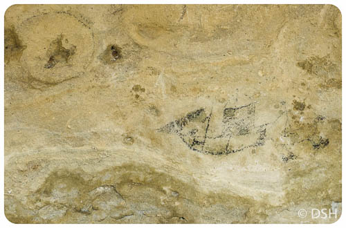
Today was a boring day. In the morning I lingered in my ensuite cabin until checkout time (that was not the boring part, especially with a lake right out my window), then I took the long route to Christchurch (that was the boring part). I first went to Timaru to see the Maori Rock Art Centre (interesting, but not worth a detour, especially if you’ve seen actual petroglyphs elsewhere). Timaru feels like an industrial port town, though the city centre was walkable and I had a chance to stretch my legs. I then took the inland “scenic” route to Christchurch, eager to get off the busy coast highway, not realizing how much extra time it would add. It was no more scenic than any other rolling farmland, though I enjoyed visiting a gallery located in an old post office in Geraldine. In the end, I got stuck in commute traffic coming into Christchurch, much more than I expected for a city of 375,000 (NZ’s third largest). Apparently some of the earthquake-damaged roads are still closed, causing increased traffic on others. Fortunately, my evening was quite pleasant. I chatted with my B&B hosts, Jill and Ruth, over both tea and a drink, and then had a nice meal overlooking the beach.
19 March – Christchurch
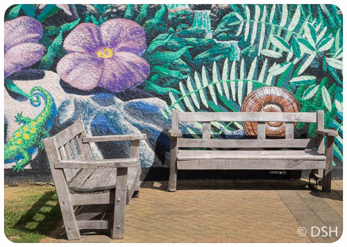
I spent much of the day exploring Christchurch city centre. Many downtown buildings were destroyed in the 2011 earthquakes and the whole place looks like a construction zone. They’ve done a good job making it pedestrian friendly, despite the mess, with art installations, flowers, and decorative perimeters around constructions sites, some with view windows. I visited the Cardboard (a.k.a. Transitional) Cathedral, built within two years of the quake with many cardboard components, and the Container Mall
20 March – Kaikoura
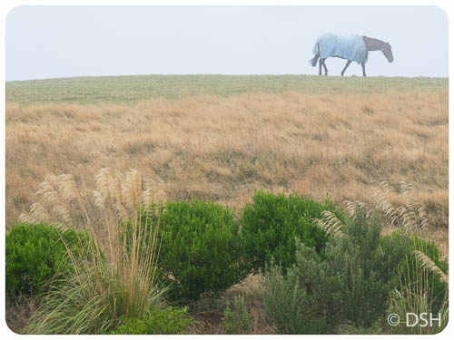
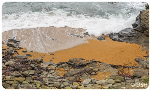
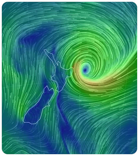
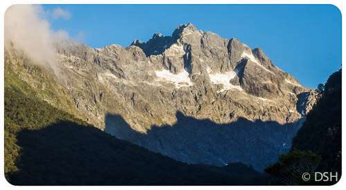
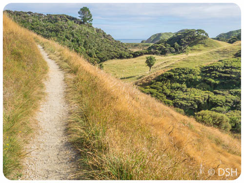
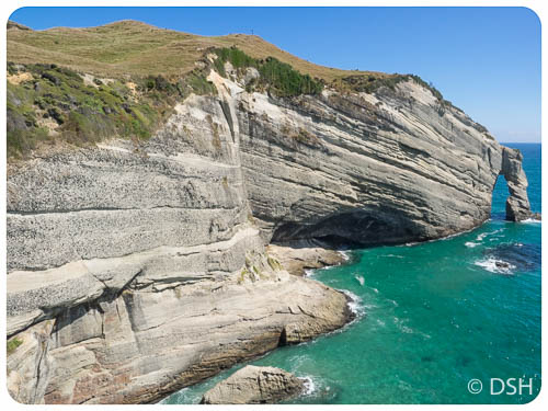
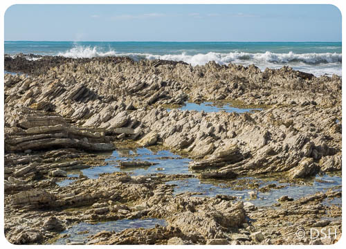
Today was a great, car-free day. The swells were too high to swim with the dolphins, as I had scheduled (residual effect of the cyclone), but it was a sunny and warmer than the last few days. I had a wonderful hike and chat with Oscar, a fellow San Franciscan staying in the neighboring room at the B&B. We took a loop trail around the Kaikoura peninsula, starting at the beach since it was low tide; the rock formations at the point were fascinating. We came back up along the top just as the clouds were clearing over the inland mountains and we could see a bit of snow on the peaks. We had fun feeding bits of apple and carrot to a group of horses.
I ate a late lunch in the beautiful garden, walked into town to explore the souvenir shops, enjoyed a beer (opened with a mini pair of pliers), sorted photos in the nice sunny community room, and then walked back to the beach for a paua (abalone) dinner. Overall, a perfect, leisurely day.
21 March – Back to the North Island
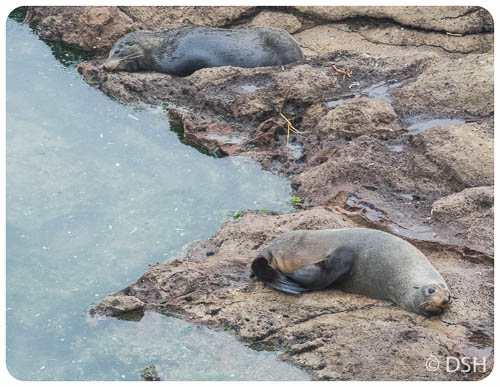
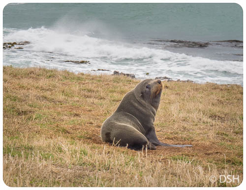
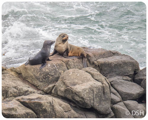
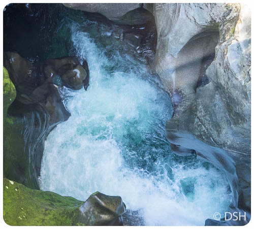
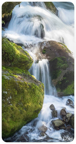
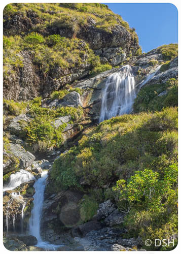
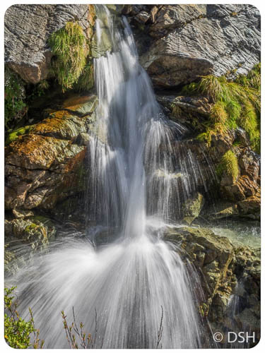
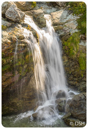
Cute frolicking seal pups! I stopped to see them at Ohau Point on my way to Picton. The adults slept while the youngsters romped. The pups also make their say upstream to Ohau Falls. I saw them playing in the stream all the way to the falls. It was a challenge to take pictures of moving seals in dim light.
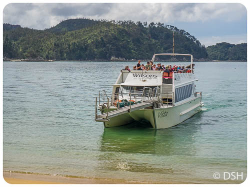
I then drove up to Picton, returned my rented car, and boarded the ferry back to Wellington. Trish was there to meet me when I arrived, three and a half hours later.
-
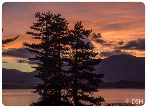
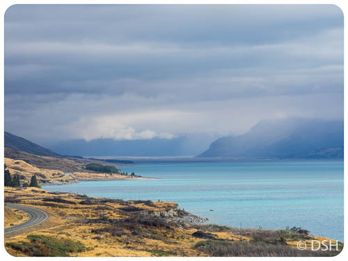
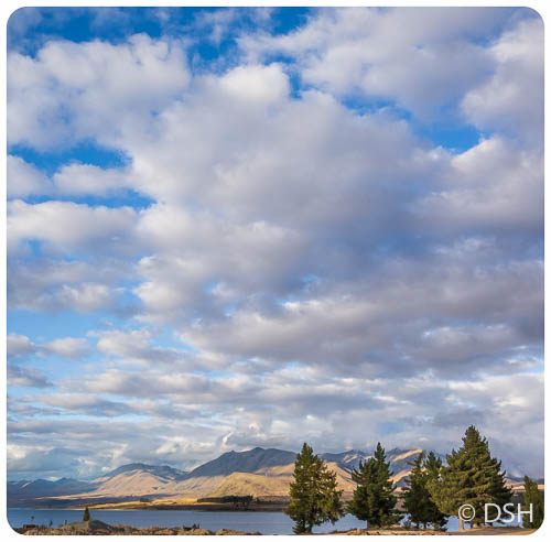
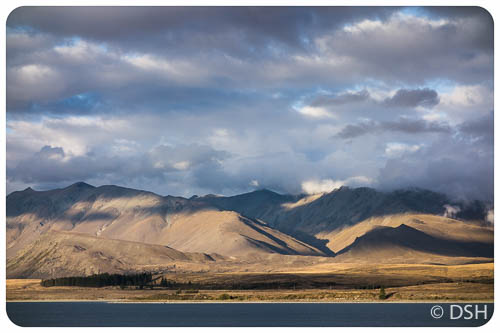
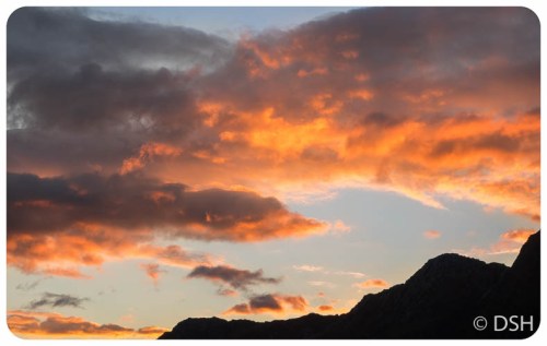
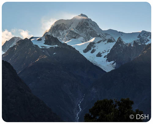
- Sunrise at Lake Tekapo
-
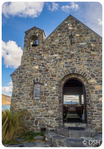
- Church of the Good Shepherd
-
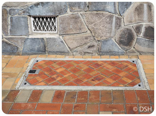
- Bricks and stones in Timaru
-
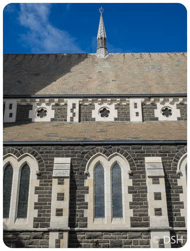
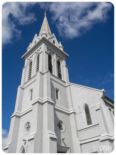
- One of many churches in Timaru
-
- Timaru
-
- Another church in Timaru
-
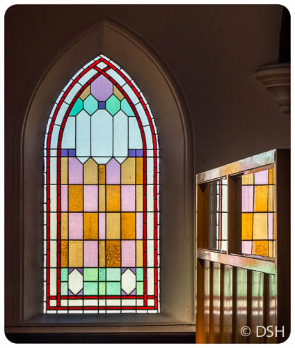
- A peek into yet another church in Timaru
-
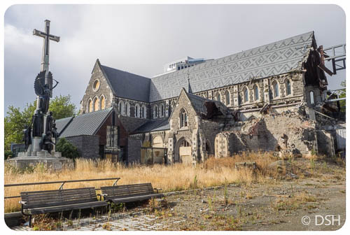
- Earthquake damaged Christchurch Cathedral
-
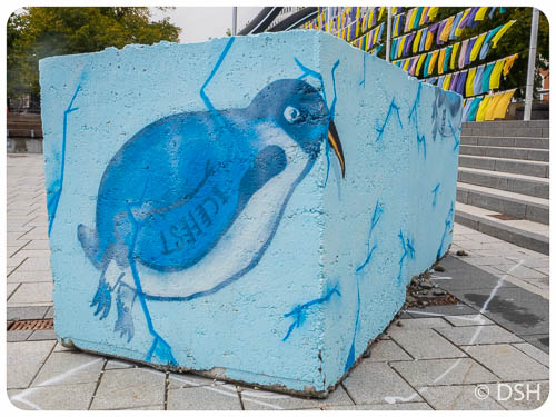
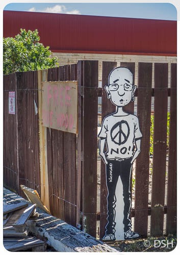
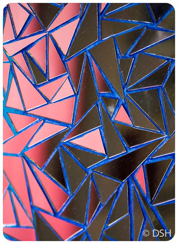
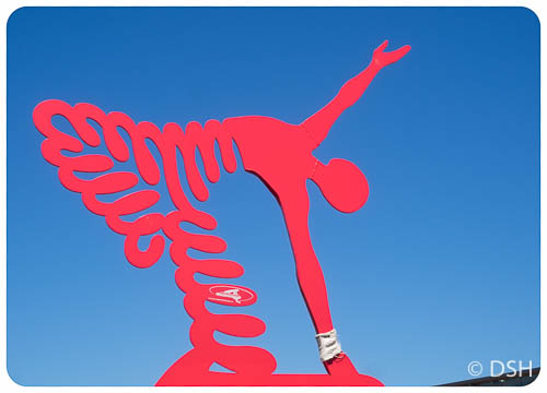
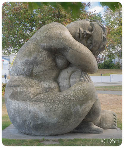
- One of many random art pieces in Christchurch city centre
-
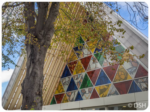
- Cardboard Cathedral (a.k.a. Transitional Cathedral) in Christchurch
-
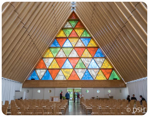
- Interior of Cardboard Cathedral
-

- Across the street from Cardboard Cathedral
-
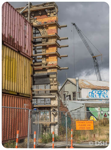
- Only the facade remains, held up with containers
-
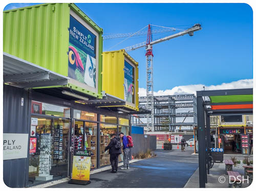
- The Container Mall (a.k.a. Re:Start Mall)
-
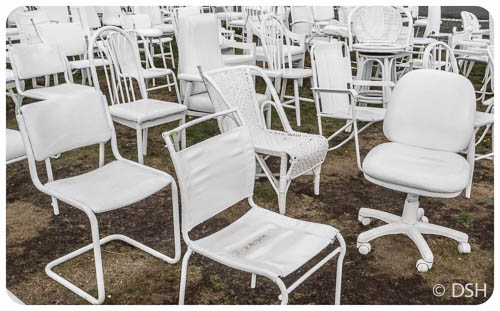
- “185 Empty Chairs”, representing those that died in the earthquake
-
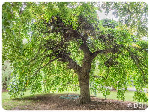
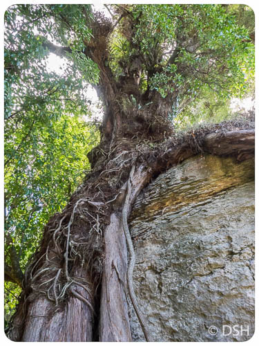
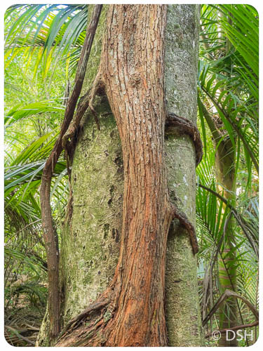
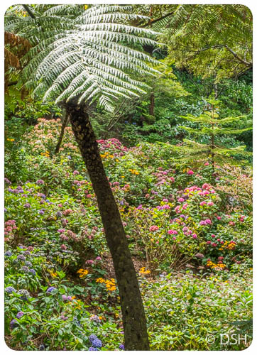
- Botanic Garden in Christchurch
-
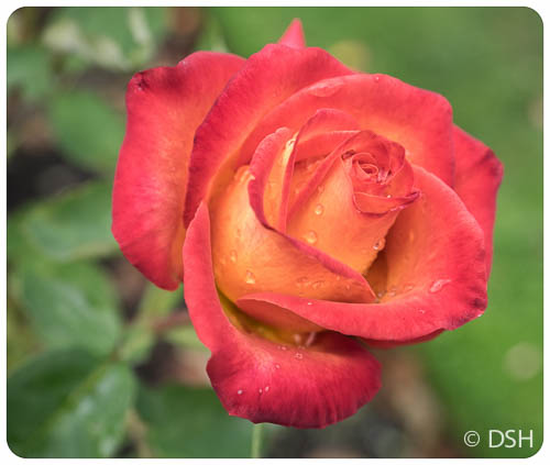
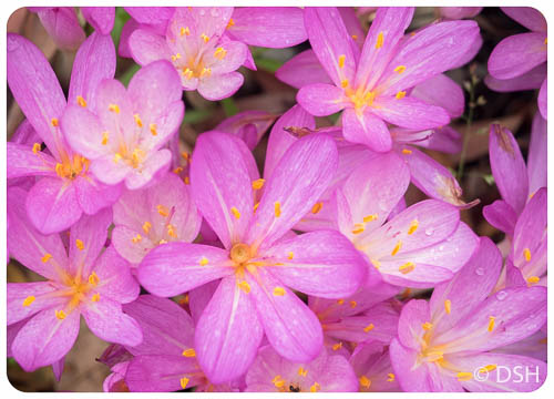
- In the Rose Garden
-
- Botanic Garden
-
- Botanic Garden
-
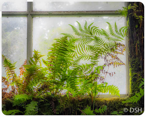
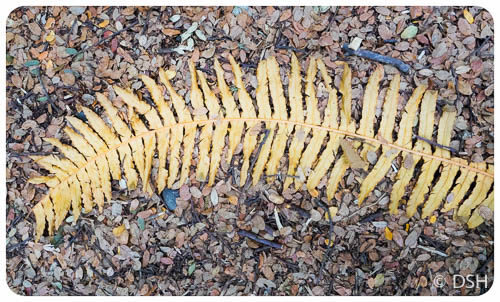
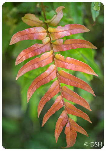
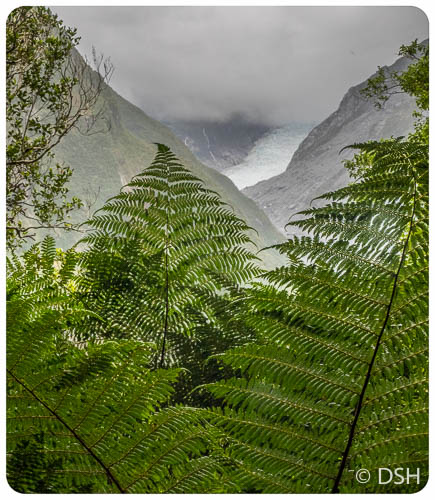
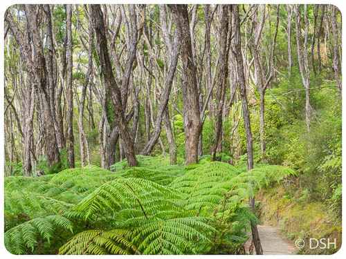
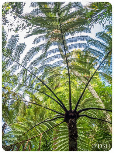
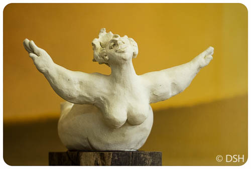
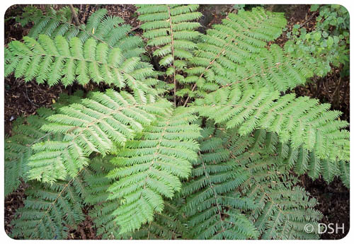
- Trying to escape from the Fern House
-

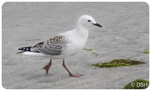
- Female Paradise shelduck (the males have black heads)
-
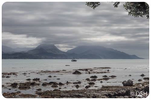
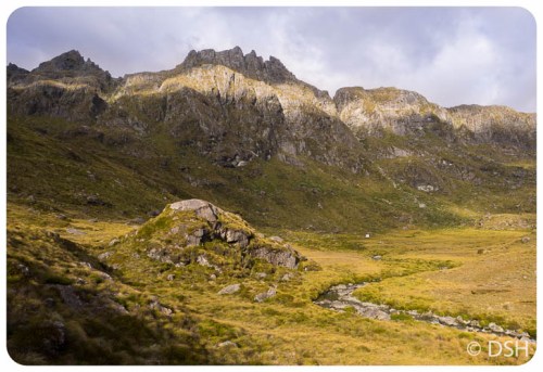
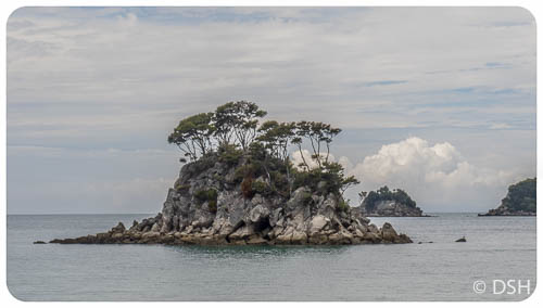
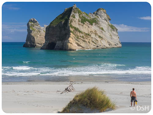
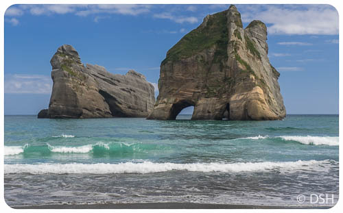
- Kaikoura
-
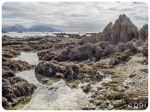
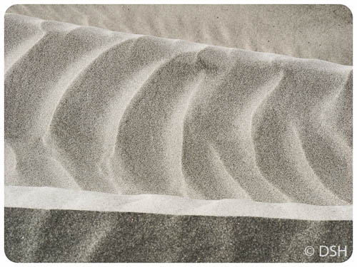
- Kaikoura at low tide
-
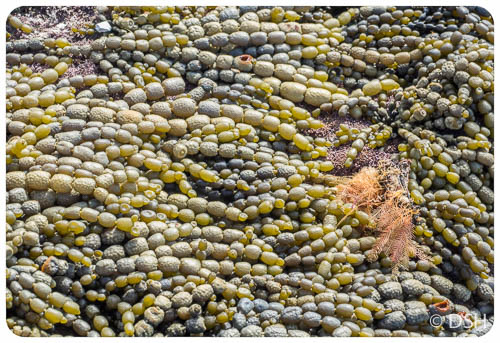
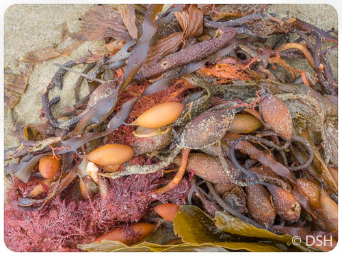
- Seaweed like necklaces
-
- Kaikoura
-
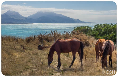
- Oh look, horses!
-
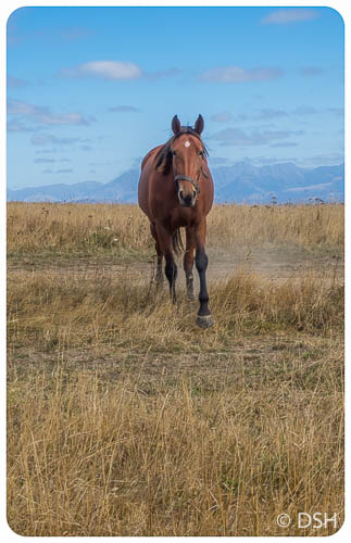
- Coming over to check us out
-
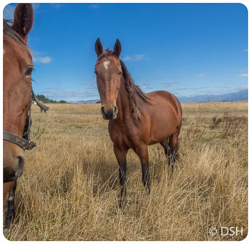
- Handsome, isn’t he?
-

- Looking for a handout
-
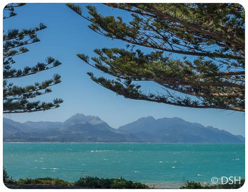
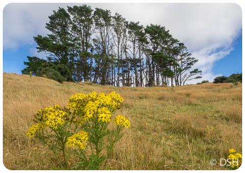
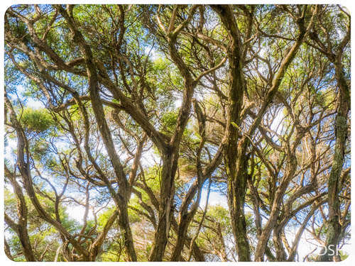
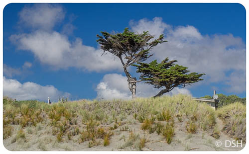
- Norfolk Island pines planted along the shore in Kaikoura
-
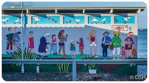
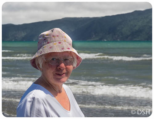
- Ladies
-
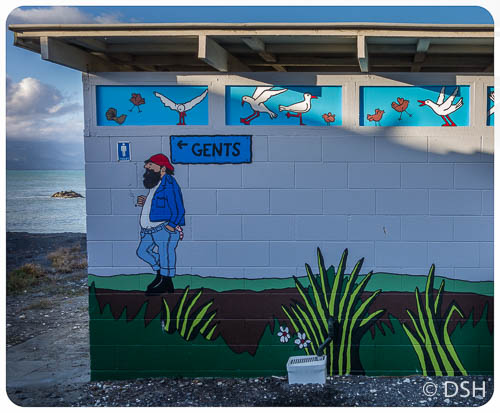
- Gents
-
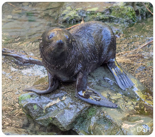
- Fur seal pup
-
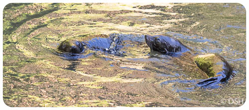
- Playful pups
-

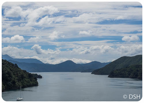
- Ferry from Picton to Wellington
-
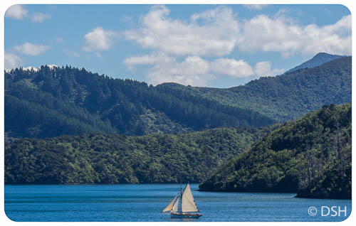
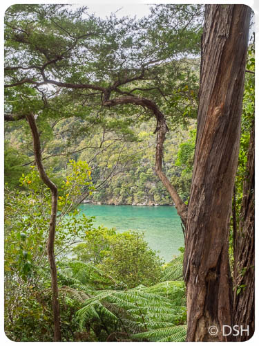
- Queen Charlotte Sound
-
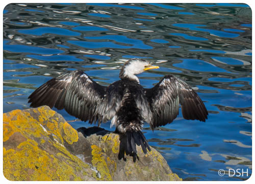
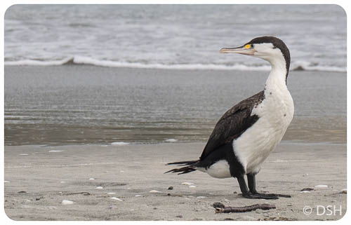
- Pied Cormorant (a.k.a. Shag)