This Great Walk is 32 km, not counting optional detours. I, and most of the independent trampers I encountered, took the route from East to West, starting at the southern end of Mount Aspiring National Park and ending up in Fiordland National Park. Guided walks seem to go in the opposite direction, perhaps to minimize congestion on the trail when hikers are leaving huts in the morning. I really liked this “walk”. There was a beautiful variety of scenery and NZ’s Department of Conservation (DoC) does a great job maintaining the clearly signed trail.
The hike times posted on the trail are at the lower end of the range listed in the brochure. Overall these times work for me if I walk fairly briskly and don’t stop. However, with photo and lunch breaks, I typically take 50% longer.
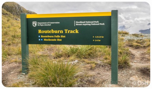
11 March, 2015 – Routeburn Shelter to Routeburn Falls Hut
It was barely light when I left Te Anau. I drove back through Queenstown, stopping for a few couple vistas along the way, and then to Glenorchy where I picked up a lock box on my way to the carpark at the Routeburn Shelter (pronunciation hint: as in England, “route” is always pronounced “root”). I left my key in the lock box and hoped my car would be waiting for me at the end of my tramp.
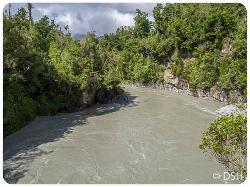
I started hiking around 11:30 and reached the hut around 3:30, not bad for a trail described as 2.5 – 4 hours. Though I wasn’t carrying a tent or cooking gear, I still felt a bit like Cheryl in Wild with a monster on my back. The majority of the hike was through Red Beech forest, along a river much of the way. There was a bit of uphill in the beginning, then a more gently climbing section in the middle, followed by quite a climb at the end.
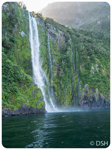
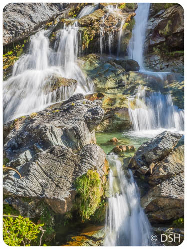
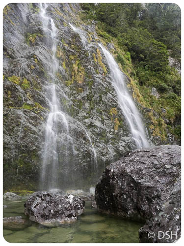
I was happy to see the hut and surprised to see how nice it was. There are two bunk rooms with 24 beds in each. They are organized into quads so there is some privacy and plenty of room. As one of the later arrivals, I had a top bunk. The deck provides a great view overlooking a valley and there is a nice spacious kitchen with plenty of stoves and sinks. After checking in, I walked up and checked out the beautiful series of waterfalls. Some more adventurous trampers scrambled down to the river and went swimming in the cold water. I settled for bathing my feet in the sink.
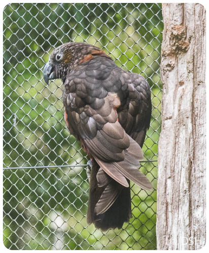
I didn’t realize that I needed matches for the stoves, but fortunately plenty of people had lighters, which they shared with me. After a freeze-dried dinner, I attended the ranger briefing. In addition to reviewing the rules, he regaled us with humorous warning stories, of Kea (native parrots) shedding clothing and packs left out at night and possums startling people in the bathroom when the doors are left open.
12 March – Routeburn Falls Hut to Lake Mackensie
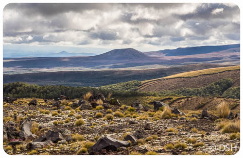
We were above the tree line most of the day. I headed out shortly before 9:00. The first portion of today’s hike was uphill; I like getting the toughest part over first. To lesson the weight of my pack, I skipped filling my water bladder and instead filled my water bottle at streams throughout the day. (When I first started backpacking, we could still do this in the Sierras, but sadly no longer).
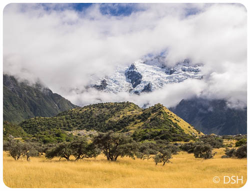
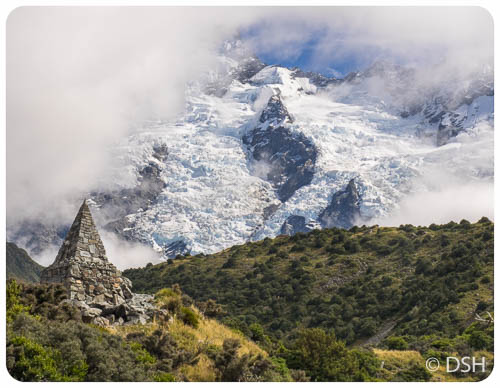
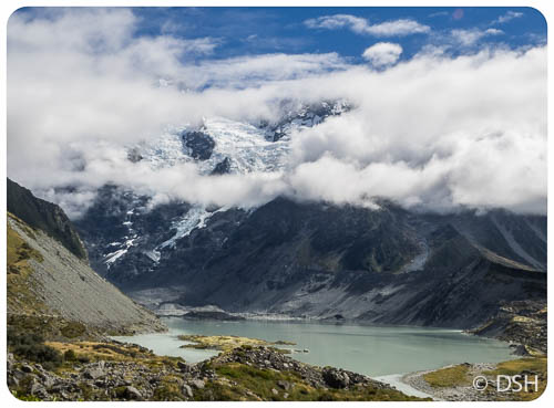
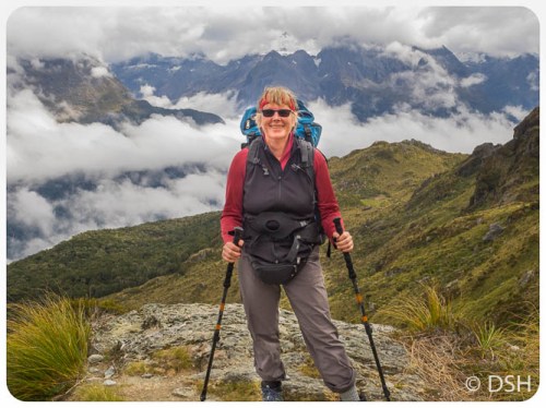
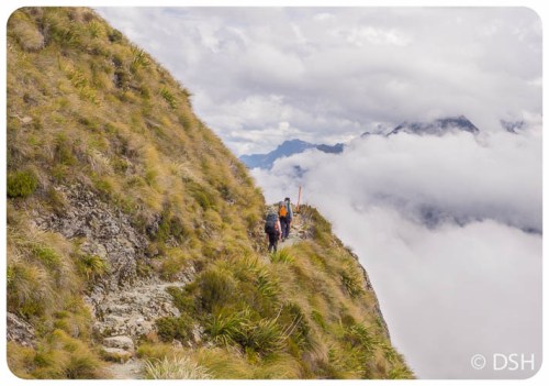
I spent much of the day hiking with a nice couple, Monika and Rolf, from Melbourne. When we reached the Harris Saddle, we dropped our packs in the shelter and started up Conical Hill. On a clear day it apparently offers a 360o view. The first third of the trail is fairly easy, though all uphill. It then becomes rocky and a bit of scrambling is required. After another third, I decided to turn back. Given the overcast weather it didn’t seem worth risking a twisted ankle.
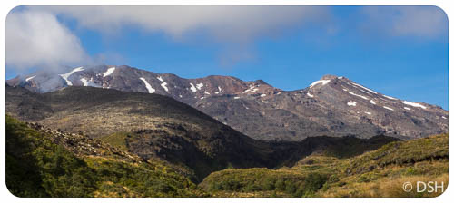
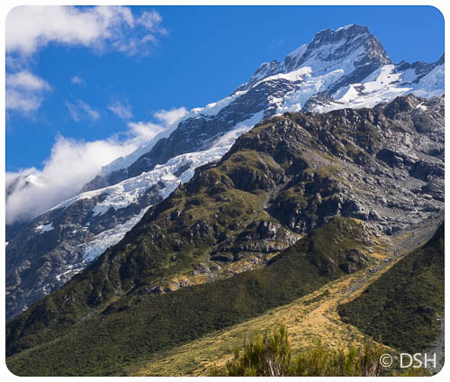
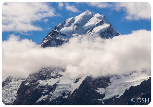
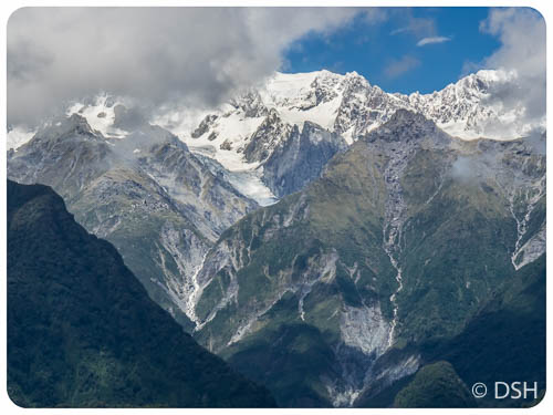
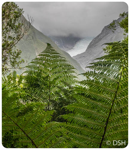
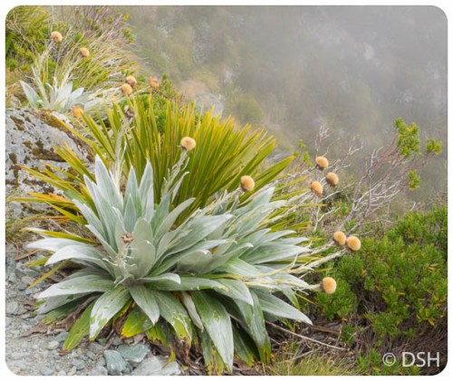
The section of the trail right before and after the saddle was stunningly beautiful. There were several small lakes and in between drifting clouds and fog, an occasional glimpse of mountain peaks and a glacier.
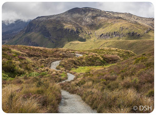
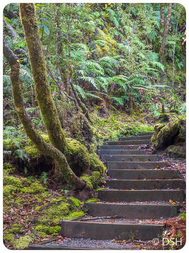
The last section switch-backed down through a magical forest. I had to watch every step to avoid tripping on roots and rocks, but stopped frequently to admire the moss-covered trees. As another tramper commented later, it was a workout for mind as well as body. FYI, for photographers, I boosted my ISO to 1600 and still needed a slow shutter speed in the forest.
I reached Mackensie Hut around 4:30. I was too tired to take the side trip to split rock when I got to camp (and it was too wet in the morning to consider).
The sleeping setup at this hut is not as nice as the last. Instead for a private bunk, with room for a pack, the beds are in slabs that hold four people each. I was one in from the end on a bottom level. The ranger at this hut gave us an overview of his pet project, trapping non-native stouts, which are killing the native birds. Before humans arrived on these islands 1000 year ago, the only mammals were bats; this was a bird paradise. Rats arrived with the Maori and Europeans deliberately introduced most of the other species. The bird population has dropped drastically with several species now extinct.
13 March – Mackenzie Hut to the Divide
It wouldn’t be a classic Routeburn tramp without rain, so I wasn’t disappointed. I’m glad I carried all my rain gear. I used it all and stayed dry J. I woke at first light and was the first one on the trail, heading out in a light drizzle. The trail starts uphill through a Silver Beech forest, with periodic openings that on a clear day would provide vistas overlooking Hollyford Valley, but today were simply white with vague mountain shapes. I soon abandoned my glasses as they kept fogging up.
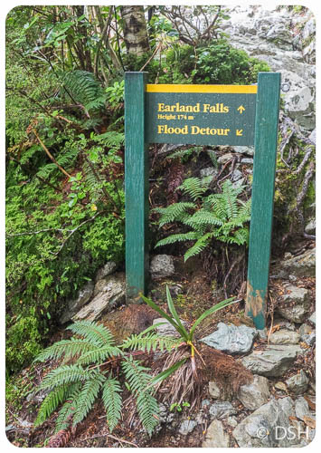
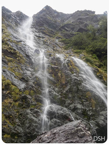
Shortly after the beautiful Earland Waterfall, it began to rain harder and I retired my camera. I stored it in a waterproof bag inside a plastic-lined pack with a waterproof cover (too bad I didn’t have this setup in Peru). When the trail returned to the trees, it was almost dark enough for a headlamp.
Today, I reached the trailhead, at the Divide, in just 15 minutes over that posted four hours. That included a short snack and restroom break at Howden Hut. (It’s nice to have a place to get out of the rain). No one was taking the detour up Key Summit, which on a clear day provides a view of Milford Sound.
I was pleased to see my car in the lot. Shortly after heading south towards Te Anau, the rain stopped and the sun came out; it was hard to believe it was the same day. I spent the afternoon running errands: drop off lock box, return rented pack, pick up suitcase, fill car with petrol, do laundry at the hostel, take a very welcome shower, sort and repack all my stuff, walk to the market for groceries. No time to sort photos, so this blog post is getting out several days later.
-
-
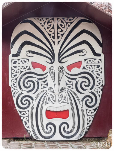
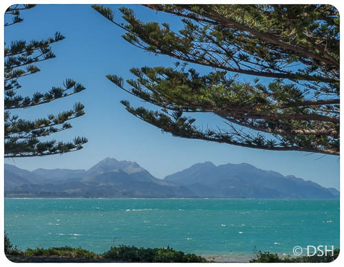
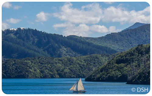
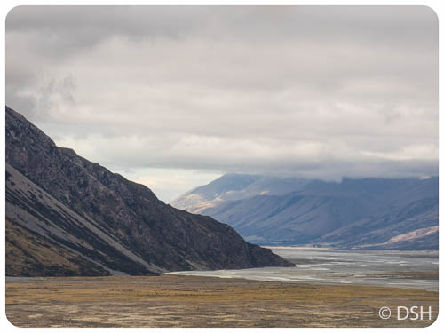
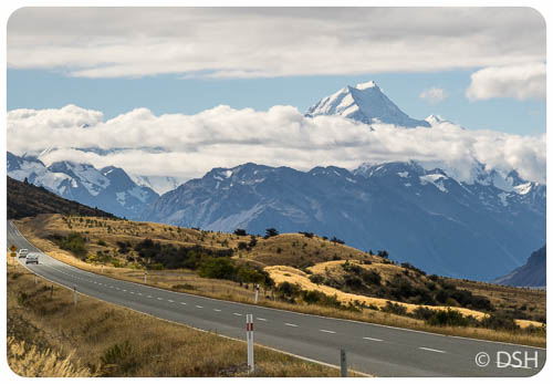
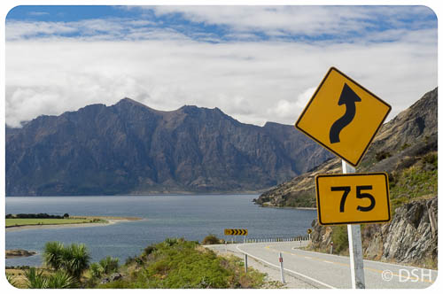
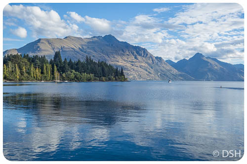
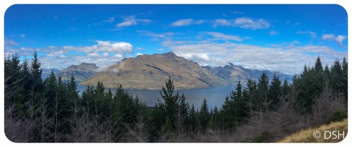
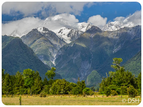
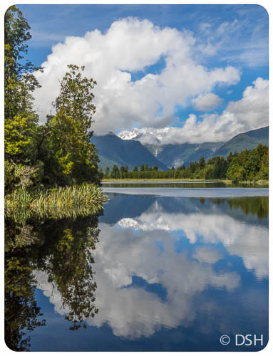
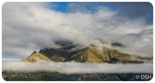
Near Queenstown. The Maori name for NZ, Aotearoa, means Land of the Long White Cloud.
-

-
Profile for track from DoC brochure
-
-
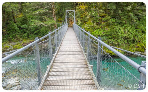
The first of many bridges
-
-
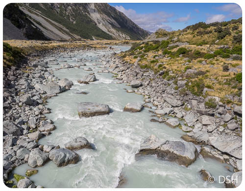
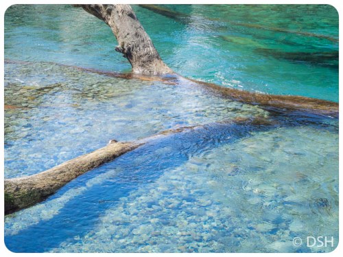
First river crossing
-

-
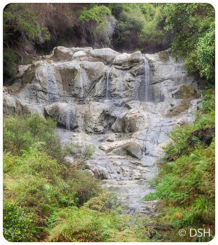
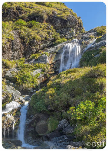
Stream with waterfall
-
-
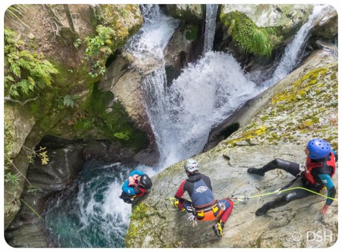
There are numerous options for aderniline junkies.
-
-
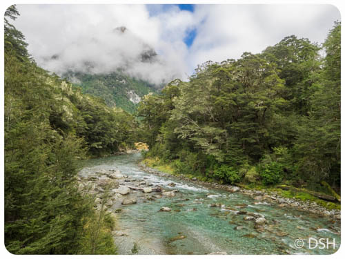
River view at lunchtime
-
-
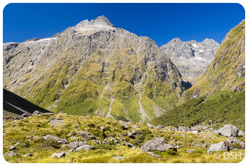
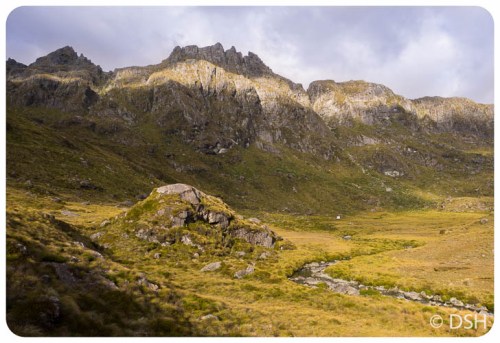
View of the day, shortly before final climb to hut
-
-
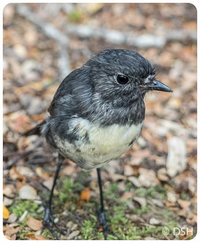
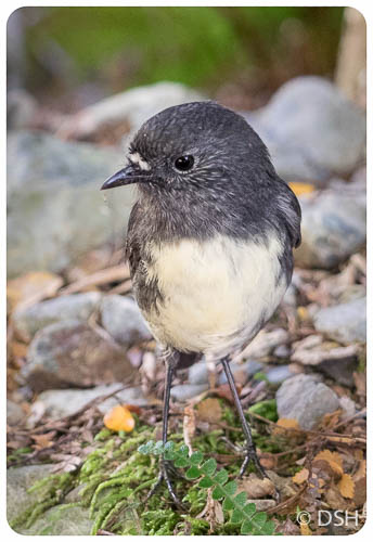
New Zealand Robin (Toutouwai)
-
-
Routeburn Falls
-
-
-
-
-
Breakfast view at Routeburn Falls Hut
-
-
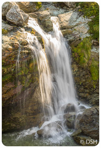
Just above Routeburn Falls
-
-
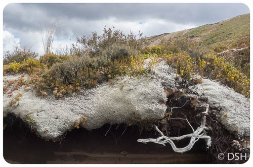
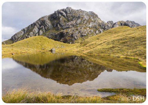
Reminds me of the Orkney Islands
-
-
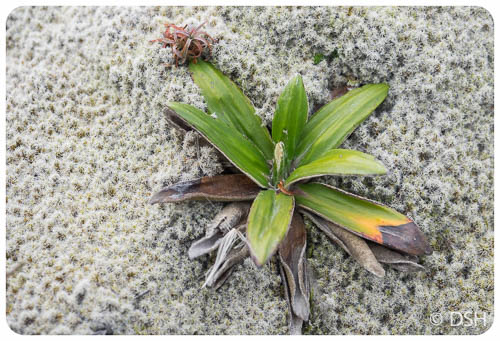
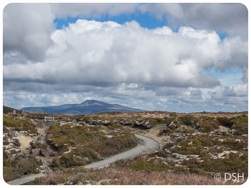
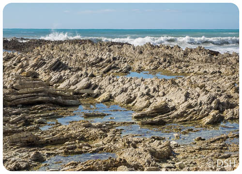
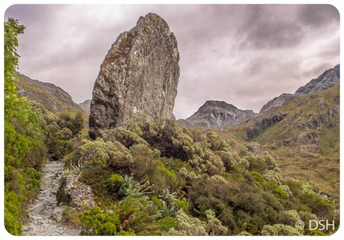
The Middle World
-
-
Close to the high point of track
-
-
Just before Harris Saddle
-
-
At the saddle, near hut and trail to Conical Hill
-
-
Heading out after lunch
-
-
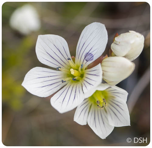
Peep-a-boo view
-
-
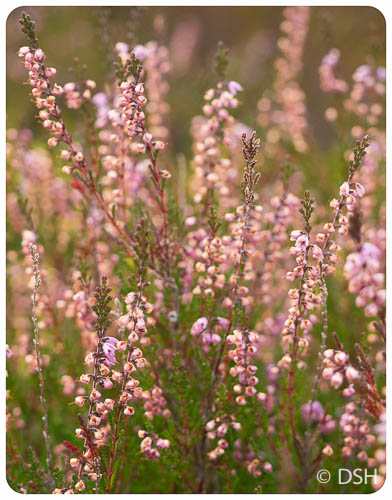
Like a rock garden
-
-
-
-
-
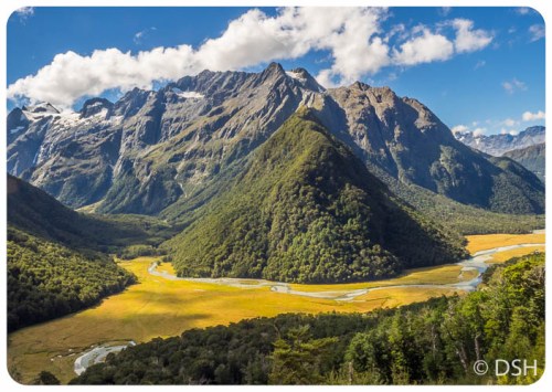
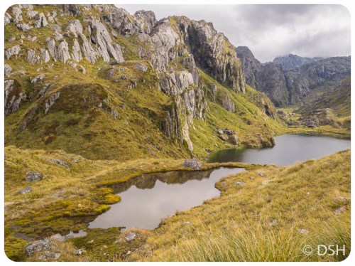
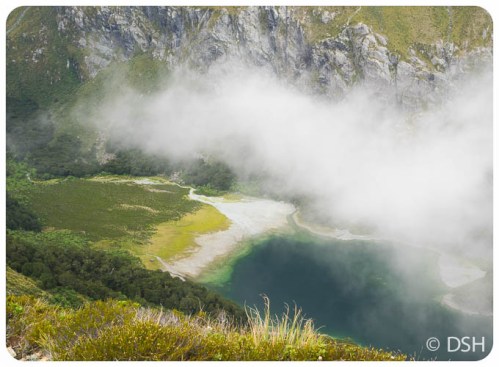
First glimpse of Lake Mackenzie
-
-
The hut is near the far right edge
-
-
-
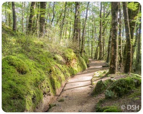
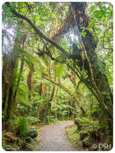
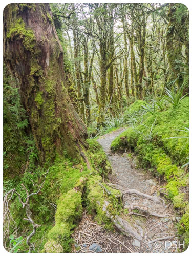
Entering a magic forest
-

-
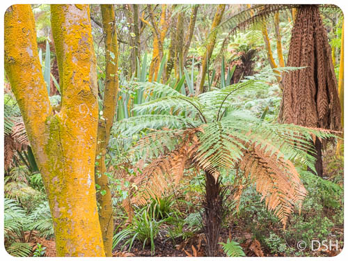
Silver Beech Trees
-
-
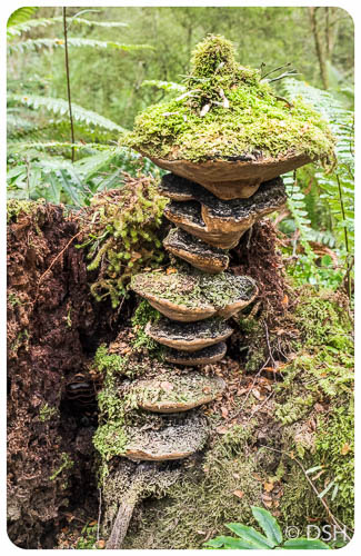
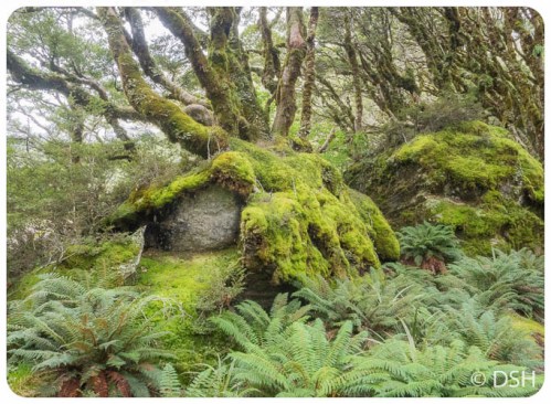
A hobbit house
-
-
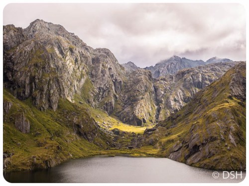
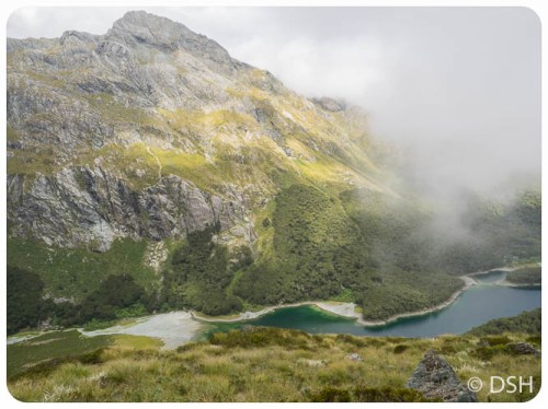
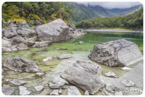
Lake Mackenzie
-
-
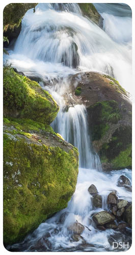
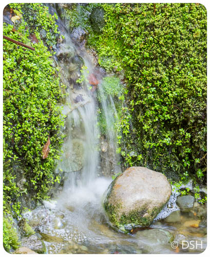
A cute cascade
-
-
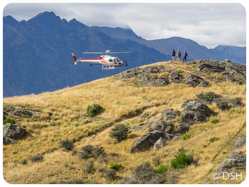
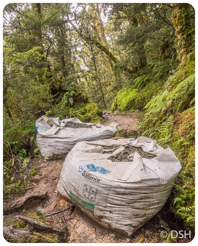
Bags of gravel delivered by helicopter, used to fill muddy sections of trail
-
-
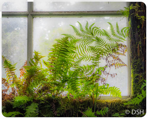
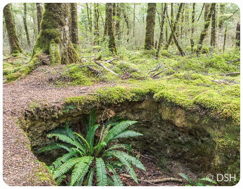
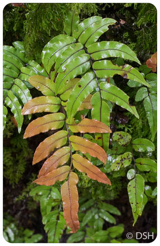
Wet ferns
-
-
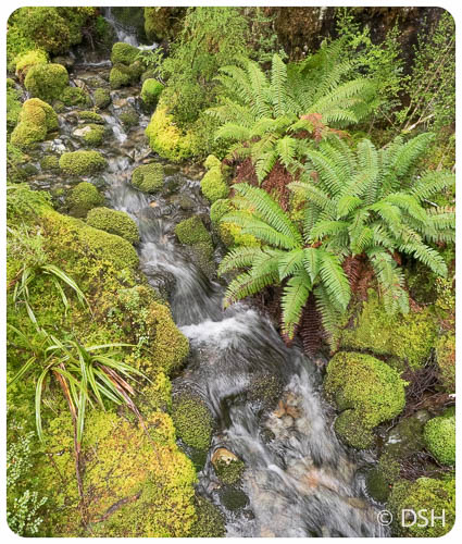
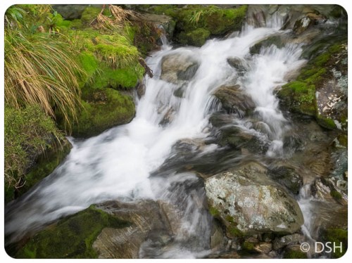
Another cute cascade
-
-
I’m glad I missed flood stage
-
-
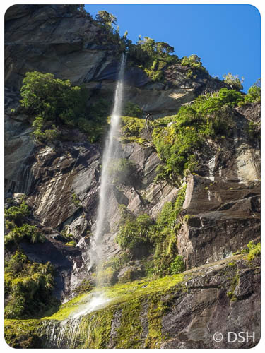
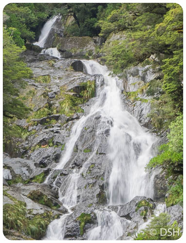
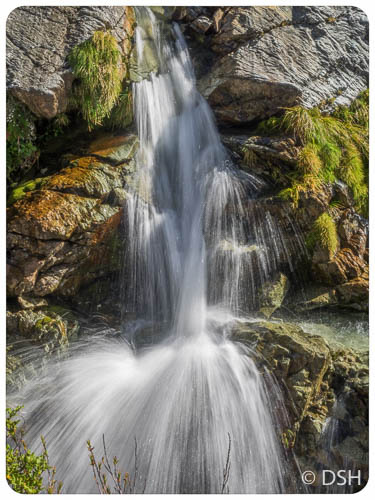
Top of Earland Falls
-
-
Bottom of Earland Falls
-

-
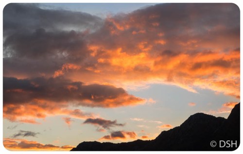
Rainbow in Te Anau after track